
the Hasenclever Iron Trail
|
Interpretive Signs Along the Hasenclever Iron Trail |
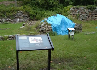
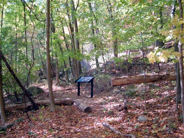
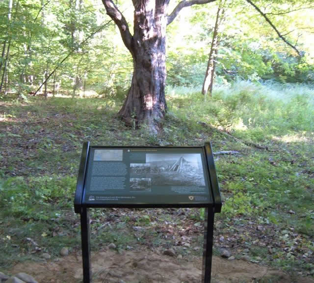
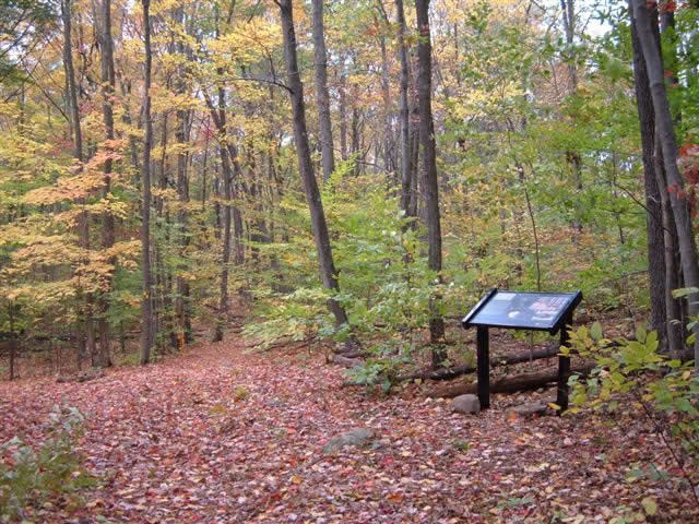
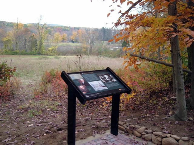
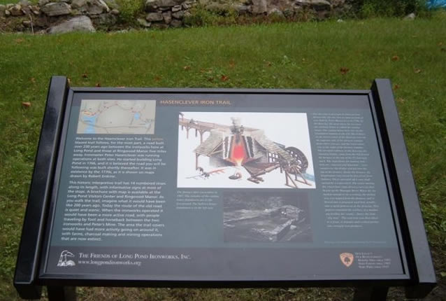
In late summer and early fall, 2007, the Friends of Long Pond Ironworks installed nine interpretive signs along the Hasenclever Iron Trail which connects Long Pond to Ringwood Manor. The sign panels measure 2 x 3 feet, have a forest green background and are mounted on black stands.
|
The panels contain text and color pictures illustrating the history that has occurred along the trail. In addition to a sign at the Long Pond furnace area, there are signs at stops 1 through 7 and at stop 14. These stop numbers correspond to those in the trail brochure available 24 hours a day in a box attached to the information bulletin board outside the Long Pond Ironworks Visitors Center on Route 511. Coinciding with the new signs, an updated and improved trail brochure is now available. To see all of the new signs, it is not necessary to hike the entire six miles of the trail. Eight of the signs are along the first two miles of the trail starting at the Long Pond furnace area. If hikers have two cars, one can be parked first at the Long Pond boat launch on Beech Road. The hikers can then carpool to the Long Pond Ironworks Visitors Center to begin the hike. After hiking from Long Pond to stop 7, the hikers can walk the short distance down Beech Road and return to the car left at the boat launch. |
|
Unfortunately for those hikers who wish to hike the entire trail from Long Pond to Ringwood Manor, the trail is closed and will be for the foreseeable future in the Peter’s Mine area due to the ongoing cleanup of what was once an industrial dump. The trail is closed between stops 10 through 12 as listed in the trail brochure. None of the new signs are within a mile of this area. Those who participated in this project include Friends of Long Pond Ironworks members Paul Frost, Martin Deeks, Beth and Eric Timsak, Rob Sparkes, Kerry O’Brien, Dave Farm, Larry Stephan, Joe Rosolen, Oscar Niederstrasser, Susan Deeks, Carol Johnson, Buster Nasta, and Gene Homme; New York/ New Jersey Trail Conference members including John Mack and John Moran; Ralph Colfax of the North Jersey Highlands Historical Society; Ringwood State Park Superintendent Rebecca Fitzgerald, Resource Interpretive Specialist Sue Shutte and the maintenance staff; and Cornerstone Spatial Design and Production in Ramsey, NJ. This project was funded by a grant from the N.J. Recreational Trails Program. |
Brief description of the Hasenclever Iron Trail
|
The Hasenclever Iron Trail roughly follows an old woods road, about six miles long, that connected two ironworking operations, Long Pond and Ringwood. The building of the road was supervised by Peter Hasenclever, the manager of these two works during the Colonial era, circa 1765. The road was included on maps, which survive today, made by Robert Erskine, ironmaster at Ringwood in the 1770s and the first United States Surveyor General. This old road was used until 1939 when the land it transverses was donated to the State of New Jersey by the last private owners, the Abram Hewitt family. Starting at the Long Pond furnace area, the trail passes, among other things, the remains of the Long Pond Colonial village, the remains of a primitive lime kiln, Peter’s Mine and connecting roads to the remains of historic Beech Farm, Sterling Forest ironworks, and Hope Mine. |
The creation of the trail along the route of the historic road was first conceived in 2001 by Friends of Long Pond Ironworks members, the late Martin Deeks and Paul Frost. At that time they were informed by the New York/New Jersey Trail Conference that this trail was the tri-state area’s first historic interpretive trail to be conceived.